Gulf of Mottama: Navigating muddy waters
The Gulf of Mottama is one of the world's largest areas of permanently muddy water. Sediment delivery from four major rivers – the Ayeyarwady, Yangon, Sittaung, and Thanlwin – and a 7-meter tidal range that drives currents of up to 3 meters/second, produce constantly changing patterns of sediment deposition and erosion. There's nowhere quite as muddy or as dynamic anywhere in the world.
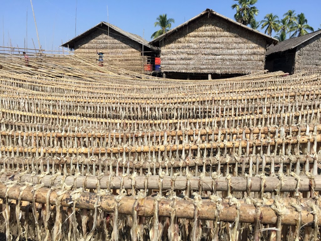
Photo: Drying fish in village in Chaungzon Township, Mon State, IUCN Viet Nam
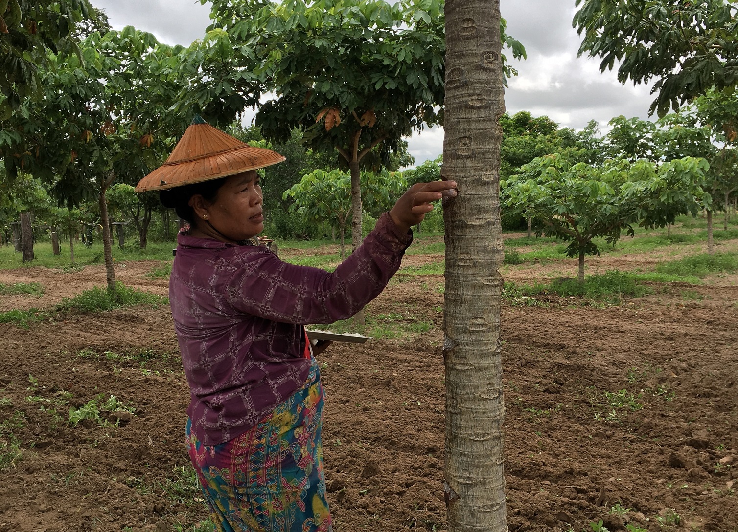
The gulf's extensive mud flats are rich in mussels, crustaceans, worms, and other benthic (bottom-dwelling) micro-fauna that are food for about 150,000 waterbirds including half the global wintering population of the Critically Endangered Spoon-billed Sandpiper. The mud flats also serve as spawning grounds for many commercially important fish species, and the muddy waters deliver nutrients that support fisheries far into the Bay of Bengal.
The gulf's importance for both biodiversity and livelihoods gives it high potential for designation as a wetland of international importance under the Ramsar Convention. As an indication of its unique values, of the convention's nine criteria, it meets six, which is well above average.
But the Gulf of Mottama is suffering. Fish catch has declined by 50%–90% over the past 10 years, the result of over-fishing, often due to use of illegal nets to harvest fish of all sizes, even juveniles. Small-scale fishers are being forced to look for work in other sectors, or migrate. But without investment capital or skills training, their options are limited. If no action is taken, fish catch and the coastal economy will decline further.
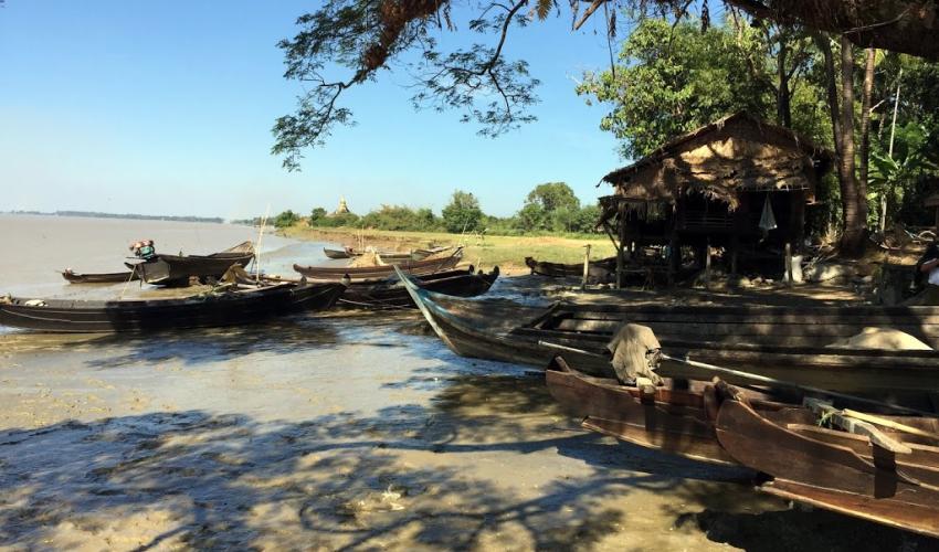 Photo: Fishing village on Sittaung River, Mon State / IUCN Viet Nam
It is in this context that that the Swiss Agency for Development and Cooperation-funded Community-Led Coastal Management in the Gulf of Mottama, a long-term initiative implemented by HELVETAS, NAG, IUCN, and BANCA, is supporting the development of a management plan for the coastal areas of Mon State and Bago Region, and eventually Yangon Region.
The creation of a management committee for the Gulf of Mottama and the designation of part of the gulf as a Ramsar site are intended to create a suitable management framework for the site. Ramsar designation would start off with Kyaikhto and Bilin, the two northern townships of Mon State, before expanding to the three southern townships, Thaton, Paung, and Chaungzon, and to Bago and Yangon Regions.
Myanmar's two existing Ramsar sites are freshwater wetlands that are also protected areas. Because of its importance for livelihoods, it's inappropriate to designate the Gulf of Mottama as a strictly protected wildlife sanctuary or national park. An alternative management framework for Myanmar's wetlands in line with the wise use principles of the Ramsar Convention is needed. The project is therefore supporting the creation of a multi-stakeholder management body for the gulf to address both livelihood and biodiversity conservation objectives.
The project is also supporting fisheries co-management in the Gulf of Mottama. New laws in several states and regions allow for fishing rights over inns (floodplain fishing grounds) to be granted to local communities to be managed in cooperation with local authorities. But there hasn't been similar progress in coastal areas.
At the moment coastal (and off-shore) fisheries are effectively open-access, and as fish stocks decline fishers resort to using ever more intensive fishing gear. In its first phase, the project will support the implementation of fisheries co-management in 30 coastal villages in Mon State and Bago Region and at the same time tackle large-scale illegal fishing that is outside the control of local fishers.
On May 30-31, the project organized a workshop in Mawlamyine to discuss a management plan for the Gulf of Mottama. It brought together 60 participants from state and region governments, Department of Marine Sciences at Mawlamyine University, parliamentarians, private sector, NGOs, and local communities.
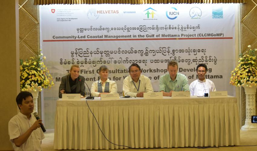 Photo: Chairpersons at the workshop / Helvetas Myanmar
Participants initiated the creation of a management committee and agreed to move ahead with Ramsar designation as a way to build momentum and attract international attention for the sustainable use of the gulf's natural resources. In the words of H.E. Dr. Min Kyi Win, the Mon State Minister of Natural Resources and Environmental Conservation:
“The solution to the challenges of the Gulf of Mottama has to be found together, across sectors, and across states, jointly with our neighbors in Bago Region and with the direct involvement of the local communities that depend directly on the ecosystem services provided by the gulf. It is important to take advantage of international tools and opportunities to support management of the gulf such as the Ramsar Convention, which was ratified by the government in 2005 and provides a strong framework for managing our coastal resources.”
For more information about the project, please go to: https://www.myanmar.helvetas.org/en/projects/clcmgomp/.
Related content
IUCN Asia Regional Office congratulates Paul Sein Twa, recipient of the Goldman Environmental…
The Restoration Initiative (TRI) Myanmar Project has conducted a financial analysis of six…
Recent research conducted by the Biodiversity And Nature Conservation Association (BANCA) has…

Sign up for an IUCN newsletter