Mapping the health of forest reserves in Ghana
Little was known about the state of Ghana’s forest reserves over the past 20 years. New maps are helping to fill these gaps and open up new opportunities for restoration.

Photo: IUCN
Ghana’s deforestation rate remains at around 2% per year and forest degradation is known to be widespread. While the government is taking steps to restore lost forests, there is still a good deal of uncertainty about where restoration and REDD+ efforts should be focused for maximum impact. According to Ghana’s 2010 REDD+ readiness proposal, the principal drivers of deforestation and degradation are agricultural expansion, timber harvesting, urban sprawl and infrastructure development, mining and mineral exploitation. While forest reserves are intended to be protected from these threats, there is clear evidence of agricultural encroachment and illegal logging taking place.
Before investing in efforts to restore forest cover in degraded reserves, we need to know where degradation and forest loss has occurred and which reserves should be prioritised for restoration. IUCN and partners undertook an updated spatial assessment of the condition of Ghana’s 266 forest reserves, which cover a total of 2.5 million hectares. This produced new, up-to-date maps of the condition of Ghana’s forest reserves using a combination of remote sensing technology, specialist expertise and local in-depth knowledge of communities living near the reserves. The maps will be useful tools for identifying which reserves are most in need of restoration.
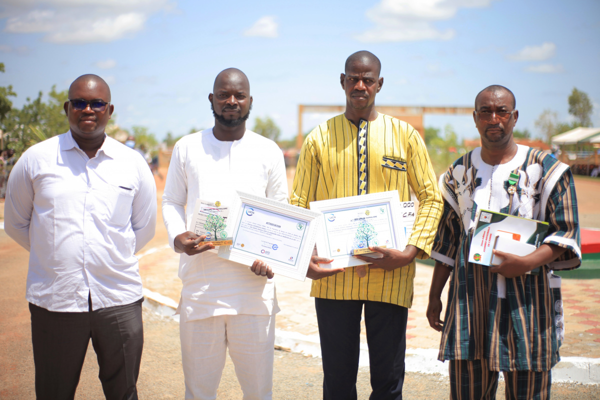
Read the full article in Forest Brief, No.2 Photo: IUCN GFCCP
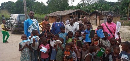
Related content
The BIODEV2030 project, launched in early 2020 supports the country's development ambition, while…

Addressing gender-based violence and environment linkages to deliver improved rights-based, gender-…
CEESP News: Emmanuel Mvé Mebia, IUCN CEESP member. Based on the recommendations of the 2nd…

Sign up for an IUCN newsletter